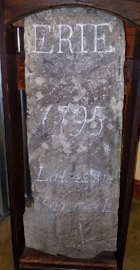
The town of Erie was first settled permanently by Seth Reed and his family in 1795 near the mouth of Mill Creek, which runs through the city (tunneled after the 1915 Flood) and empties into Presque Isle Bay. In that same year, the City of Erie was officially laid out by Andrew Ellicott and William Irvine. The marker stone pictured below was one of four that marked the first Erie community borders.
Since that time, what began as a small settlement eventually grew in population and size. Small towns and villages close to the city became incorporated into the city proper. Perhaps you have heard of some of these Erie city neighborhoods?
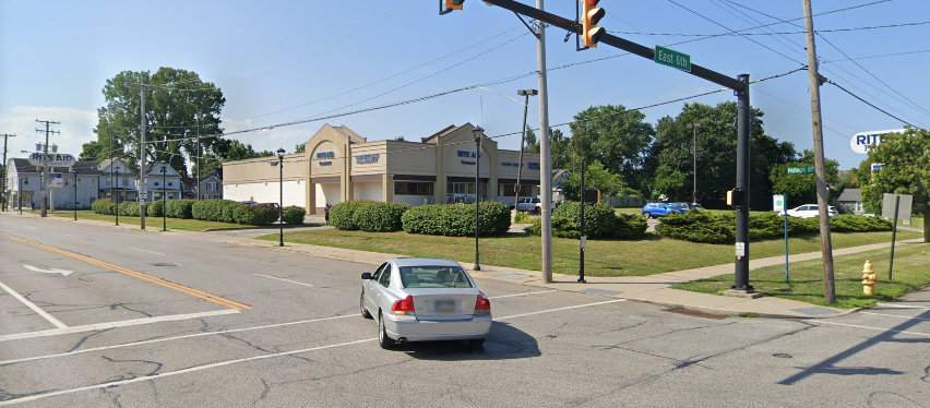
Located on the Southwest corner of 6th and Parade Streets, this area was named after blacksmith and grocer Rufus Clough. In the early 1800s, this neighborhood was very popular with early settlers as it was located on the “Old French Road” that went from the area of the fort through the wilderness to Waterford. Parade Street obtained its name as a result of being the parade grounds of the soldiers at the fort.
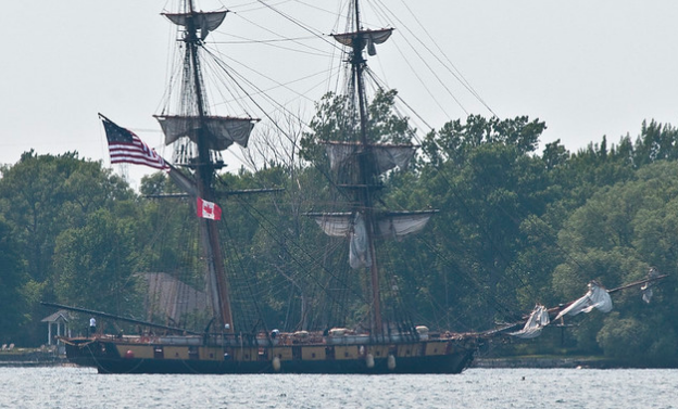
Between Peach and Sassafras Streets near the bay, another old settlement “Stumptown” was established. This area was near the mouth of Lee’s Run and became populated with people working on the ships during the building of Perry’s fleet. The stumps of trees left by lumber production for the fleet and cabins gave the area its name. Lee’s Run disappeared from local maps when the Erie Extension Canal used the creek-bed through the city to become the route for the canal connecting Erie with Pittsburgh in 1844.
North of West 6th Street and west of Sassafras Street, this area was developed by William Himrod, Sr. in 1829-1830. This was an undeveloped part of the area due to the large ravine that was part of Lee’s Run, which made it difficult to access. Mr. Himrod bought the land and sold it to free black residents, stipulating that each had to build and occupy their homes. A real abolitionist, Mr. Himrod fought against local clergy not welcoming black worshippers by forming his own Sunday School and inviting all.
Alfred King laid out a small community South East of the current Soldier’s and Sailor’s Home in the early 1800s.
Federal Hill
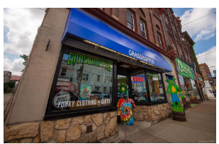
Around the area of 26th and Peach Streets is the Federal Hill neighborhood established by George Moore. The name was given due to the large numbers of Federals (those who desired a strong Federal government) who lived there. It became a stopping place for travelers as it was the terminus of the Waterford Pike and the Ridge Road. In 1839, there was a mile of trees between Federal Hill and the town of Erie itself. Eventually, the area became a neighborhood of new German immigrants. I own a beautiful print of people seated under a tree on Federal Hill with the town and lake in the distance. Today, funky, local shops dot the area.
Located around the area of East 28th and Parade Streets, where Parade turns into Pine Avenue, this also became a predominately German area. The neighborhood was popular due to the Wattsburg and Old French Roads connecting there. I read many years ago of a prolific water well in that neighborhood used by residents and travelers alike.
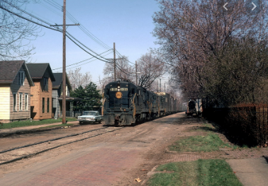
This area was incorporated into an independent borough in 1866 then became part of the City in 1870. Located roughly between West 18th and 26th Streets from Parade to Cherry, it was physically south of Erie and was established with the development of the railroad through town in the 1850s.
Warfeltown
The Martin Warfel farm was located between East 18th – East 28th Streets, from East Avenue to Elm Street. The farm was originally part of Millcreek Township which later became incorporated into the City as it grew. Mr. Warfel was employed by Swalley & Warfel, which had a large factory located somewhere on Peach Street, that made laundry and other soaps in the mid-1800s. At one time, a large Native American burial ground was located east of East Avenue.
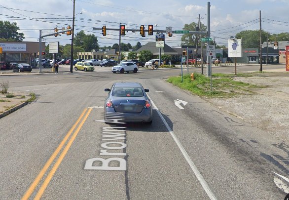
George Weigel, Sr. purchased 50 acres of land in 1833 in the area of current day West 26th Street and Brown Avenue. A hotel located there became a popular stagecoach station and stopping place for travelers before the last mile-and-a-half trip to the City of Erie.
Physically growing the City of Erie is certainly not a new concept, which brings to my mind the current practice of “Regionalization” that some cities are now experiencing. These cities are extending their borders, condensing duplicate services, and raising their population for increased Federal aid. I have often wondered why our city hasn’t considered this. Perhaps it has, but decided to dismiss the idea for now. I am sure our government leaders have the long life and happiness for all its residents in mind when making these decisions.